Scattered throughout parts of western South Dakota nuclear missiles waited quietly for their launch instructions.

I apologize for the history lesson today (but I am a former history teacher.)
South Dakota’s Cold War With the USSR
At the height of the Cold War, South Dakota was one of the ten most dangerous places to live in the event of a nuclear war. This wasn’t because South Dakotans were particularly threatening to the Soviet Union. Instead, it was because western South Dakota and Ellsworth Air Force Base were home to a branch of the Strategic Air Command. The B52 and the B1B* bombers that were operated by SAC were capable of carrying nuclear bombs to virtually any target in the world.
Western South Dakota was also home to around 200 Minuteman Missile silos. Each one of these missiles had a range of around 6000 miles and carried a 1.2 megaton bomb – that’s a weapon that was 60 times more powerful than the bomb that destroyed Hiroshima. The targets would have had 30 minutes from launch to strike to prepare.
A Lightning Rod Can Be A Dangerous Thing
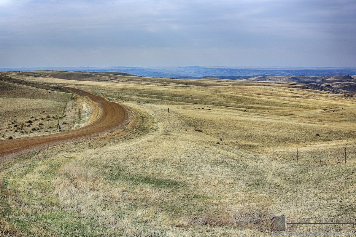
The missiles were housed in underground silos that were scattered in “missile fields” over large tracts of sparsely populated farm and ranch land. The missile silos were easy to miss but there were road signs. But the signs were in a sort of code and they were intended for the missile flight maintenance crews, not citizens like me. Of course, the Russians knew where the missiles were located and each one might have been a likely target for a missile strike from the USSR. Some experts have referred to the silos as “lightning rods.” The paradox of the lighting rod is that in order to protect a building from lightning, you make it more attractive to a strike. (If missiles had fallen on western South Dakota, the people, cattle and crops would have been deemed “acceptable losses.”)
Most of the road side markers for missile silos have disappeared over the years. They were taken, I’m guessing, by souvenir hunters. So it was with surprise that I discovered the relic pictured in today’s post.
What the Sign Means

I’ll translate the sign post: Turn left and you will find two missile silos somewhere down that road; turn right (which I did) and you will find two more. These four missiles would have been capable of wreaking havoc on Russian cities the size of Los Angeles, Denver, Chicago and New York.
With one exception, the missiles were removed and decommissioned in the 1990s. The missile silos were imploded and handed back to the farmers and ranchers. In some cases the fencing has disappeared, but in the case of H6, even the corresponding signage still exists.
The Person in the Brown Uniform Will Show You A Nuclear Missile
The one nuclear missile silo and maintenance facility* that has been preserved in South Dakota is called Delta-09 (D9) and it is now maintained by the National Park Service. I’ve never been there but it’s on my list of South Dakota landmarks to visit.
So ends the history lesson. . . .
Canon 5DIII 1/8000s f/2.8 ISO200 200mm
*The B1B bombers are still at Ellsworth. I can’t tell you if there would carry nuclear bombs. Maybe a read could?
**Not all of the 200 silos had a maintenance facility like D9. The missiles were grouped in 16 clusters, each with a remote launch facility like D9.


